

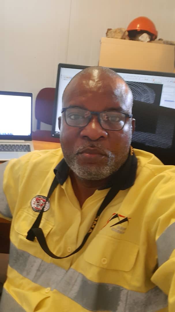
Jeremie Nguani
MAusIMM(CP)
Membership year(s) completed: 2

Oman
- ERG - Africa - Johannesburg
- Senior Mine/ Resource Geologist
- Discipline(s)
- Mining Geology
Professional bio
DRC Congolese Geologist, A dedicated at Exploration and Mining Geology operations in early, advanced and Resource Estimation project; Pre-Feasibility and Feasibility study with 16 years’ experience in: Copper, Iron Ore, Diamond (Kimberlite), Chromite, Gypsum, Limestone projects.
Member in Geological Society of South Africa (GSSA ID: 967750)
Certified course Mineral Project Reporting under NI43-101 by Edumine
Geological and Structural Mapping, Geochemistry soil sampling and stream, Drill holes logging, strip log and cross section correlation, Geophysics data interpretation. 2D map by using Arc Gis and Geosoft Oasis montaj /Geovia Surpac.
Modelling and Mineral Resource Estimation (Data base, explicit modelling, Geostatistical, Variogram modelling, Variogram Mapping, Isotropic and Anisotropic parameters, Bloc Model, Kriging and invers distance estimation tonnage, and grade calculation, validation estimation), Open Pit design, blast design and drill hole pattern planning by using Geovia Surpac, Minesched and Whittle.
o Resource estimation and reconciliation of the Ore body model against mine geology
o Block Modelling of deposit and evaluation of ore quality, grade assessment
o Align grade and quantity as per mine annual plan and planning scheme.
o Assist in mine plan preparation and statutory compliances.
o Assisting with period compilation of resource and reserve reports
Member in Geological Society of South Africa (GSSA ID: 967750)
Certified course Mineral Project Reporting under NI43-101 by Edumine
Geological and Structural Mapping, Geochemistry soil sampling and stream, Drill holes logging, strip log and cross section correlation, Geophysics data interpretation. 2D map by using Arc Gis and Geosoft Oasis montaj /Geovia Surpac.
Modelling and Mineral Resource Estimation (Data base, explicit modelling, Geostatistical, Variogram modelling, Variogram Mapping, Isotropic and Anisotropic parameters, Bloc Model, Kriging and invers distance estimation tonnage, and grade calculation, validation estimation), Open Pit design, blast design and drill hole pattern planning by using Geovia Surpac, Minesched and Whittle.
o Resource estimation and reconciliation of the Ore body model against mine geology
o Block Modelling of deposit and evaluation of ore quality, grade assessment
o Align grade and quantity as per mine annual plan and planning scheme.
o Assist in mine plan preparation and statutory compliances.
o Assisting with period compilation of resource and reserve reports